USE CASE
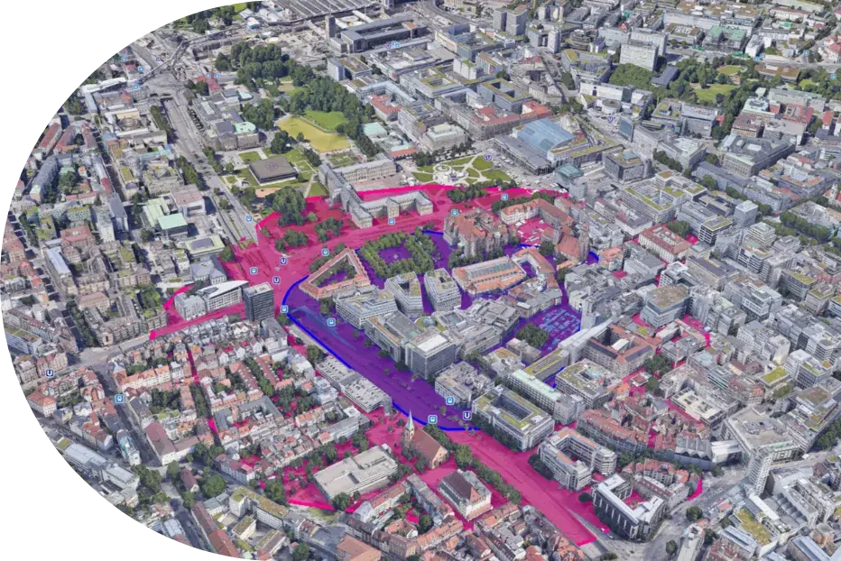
Planning locations for mobility offers
Vehicles for carsharing, for example, should be located where people need them. However, optimal areas should also be found for depots or charging infrastructure. Through simulations ioki can identify locations that meet user requirements.
Possibilities
Why you should use a simulation to identify locations:
Ideal areas for depots
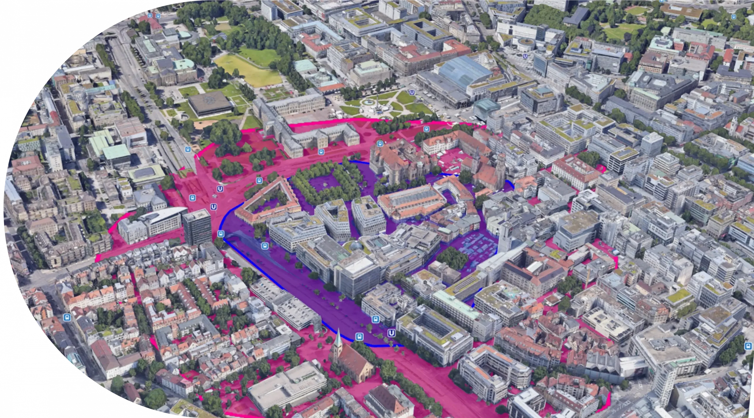
By identifying suitable locations, you can optimally position your service to meet demand. This benefits not only the users of your service but also you as the operator.
Methodology
Our tools put you on the right track:
By identifying suitable locations, you can optimally position your service to meet demand. This benefits not only the users of your service but also you as the operator.
Methodology
Our tools put you on the right track:
Results
You get an answer:

Analysis of the public transport network in Germany with focus on rural areas
ioki Analytics products in use
Uncovering shortcomings in the current public transport system
Planning a new on-demand service
Developing a public transport network and integrated service concept
Optimising line-based and on-demand services economically
Setting up autonomous service and operation concepts
Creating a local transport plan
Generating and Evaluating future transport scenarios
Designing school transportation demand-based and efficiently
Planning locations for mobility offers
Improving the traffic situation in touristic regions

Get advice from our experts now